
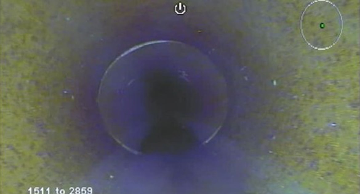
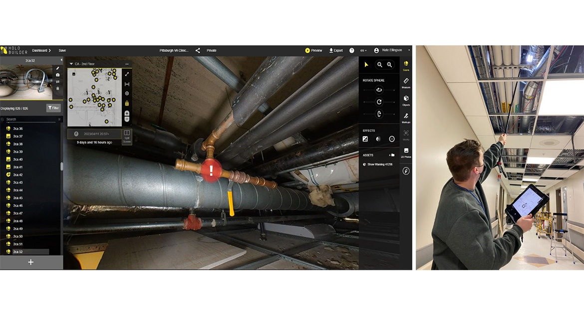
Data & Technology - Reality Capture
B&N leverages advanced reality capture technologies to deliver accurate, high-resolution data that supports better decisions from the start. Using drones, LiDAR and remote sensing tools, our team captures existing conditions quickly and safely across infrastructure systems. These insights support 3D modeling, digital twins and visualization, helping clients plan, design and deliver projects with greater confidence, efficiency and reduced field risk.
Insights


Honors & Awards
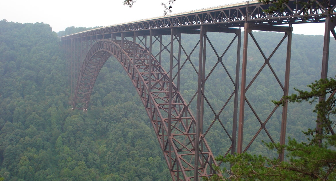
2017 ACEC Engineering Excellence Award – Structural Systems
Rehabilitation of the New River Gorge Bridge
Fayetteville, West Virginia
American Council of Engineering Companies of West Virginia (ACECWV)