
We are here to create
a better tomorrow.
At B&N we are passionate about the work we do and how it improves the communities where we live. Read on to learn more about our culture, the difference-making infrastructure solutions we design, how we lead with technology and the talented people who make it all happen.
Workplace
Inclusive, respectful & authentic.
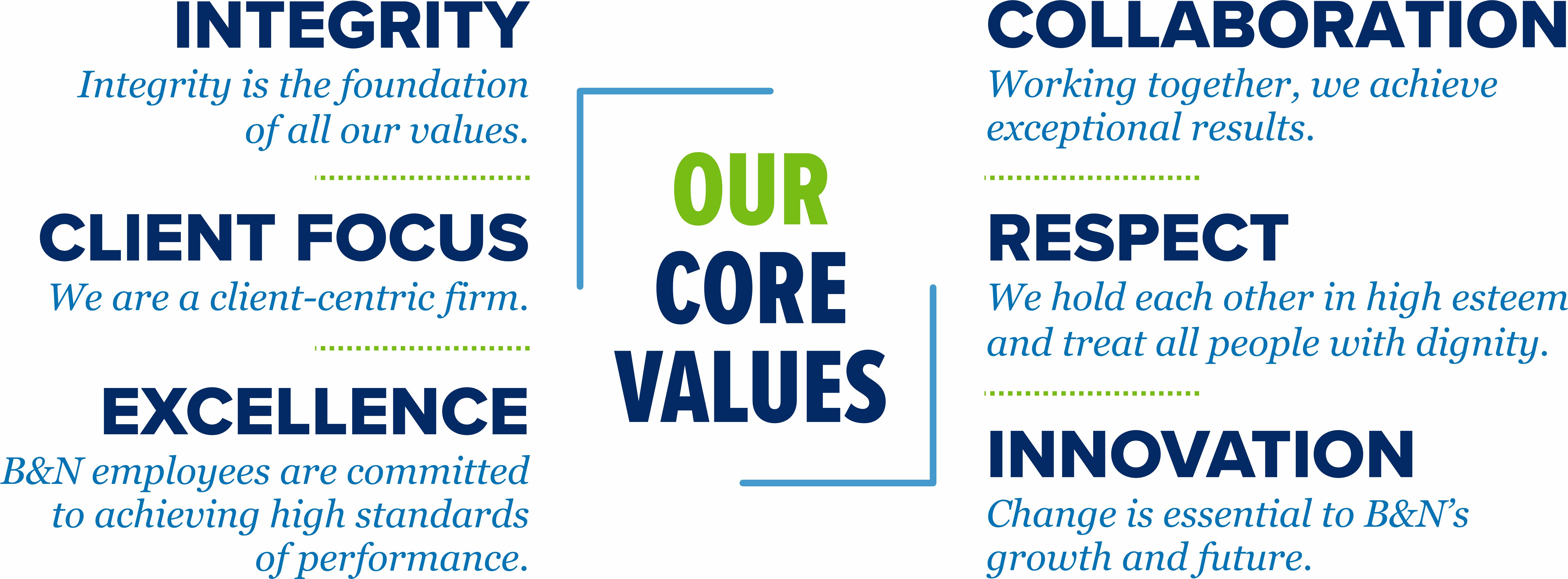
We believe that delivering innovative infrastructure solutions that have a difference-making impact requires a culture that is inclusive, where we communicate openly, respect each other’s ideas and can be our authentic selves.
Our values describe who we are and where we focus our pride and passion. They form the basis for the trust and respect our clients have for us and we have for each other. More than any other factor, they explain why new clients seek us out, why former clients return to us, and why great people want to work here.
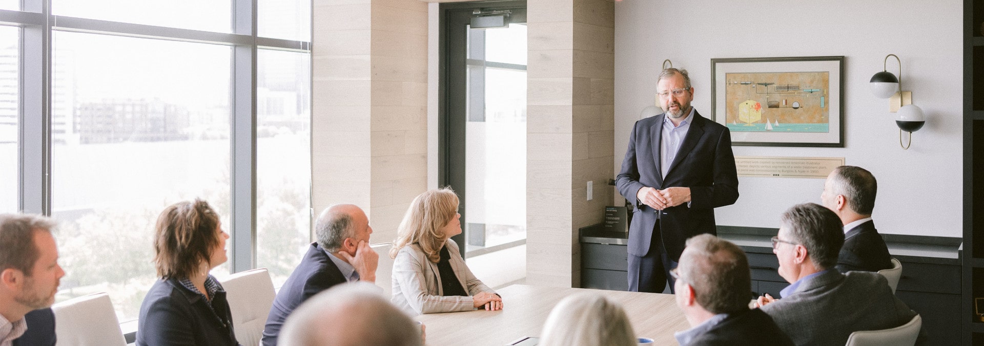
Leadership
Our leaders are transparent, approachable, and focused on the growth and well-being of our workforce.
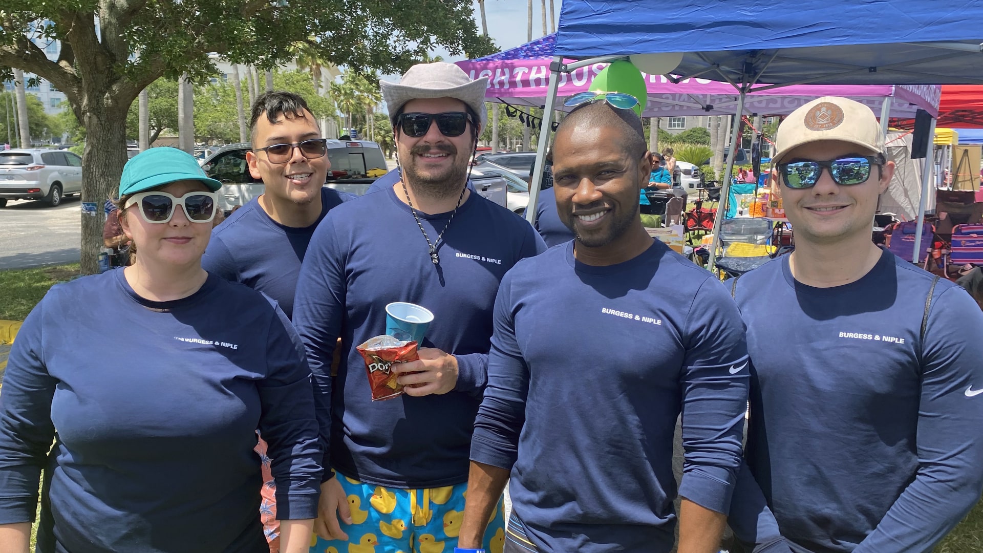
Giving Back
While our technical work directly impacts communities throughout the country, as corporate citizens we value providing support to charitable organizations. In addition to monetary donations, many of our employees give their time and talent to make a positive impact on communities. These organizations include:
- Engineers Without Borders
- Habitat For Humanity
- Feeding America
- Mental Health America
- Make-A-Wish Foundation
- Meals on Wheels
- Operation Blessing
- The Trevor Project
- St. Jude’s Children’s Research Hospital
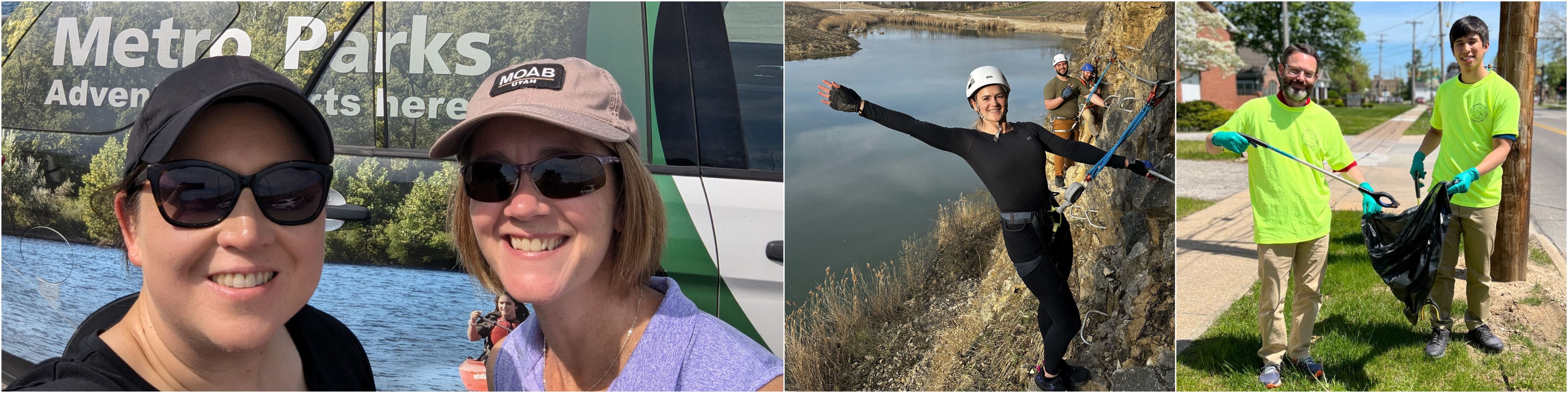
Community
Most of all, we genuinely care about and support one another as we seek to build a community dedicated to creating a better tomorrow. This includes programs that support work-life balance, professional growth and development and employee wellness.
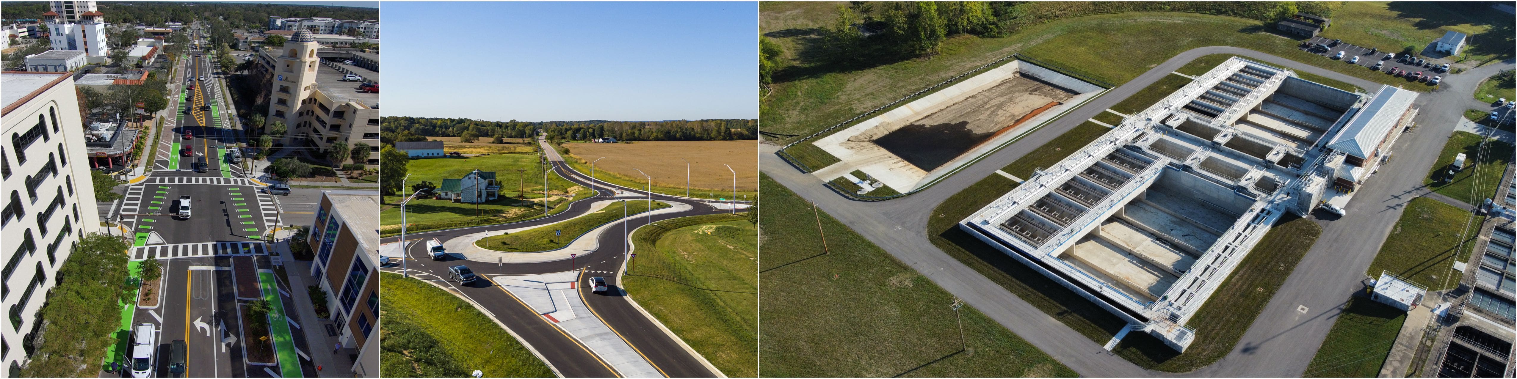
Design Innovation
Designs that make an impact.
We take pride in our award-winning infrastructure designs that have helped shorten commute times, connect communities, ensure water quality, and provide new places to relax and explore.
Talent
Eyes on the future.
B&N is a place where the best and brightest want to work. To support and invest in our talent, we provide many opportunities for collaboration and professional development. This allows our staff to expand their expertise and continue to innovate new ways to help communities thrive.
- Internal summits
- Subject matter groups
- Book club
- Participation in professional societies
- LinkedIn Learning
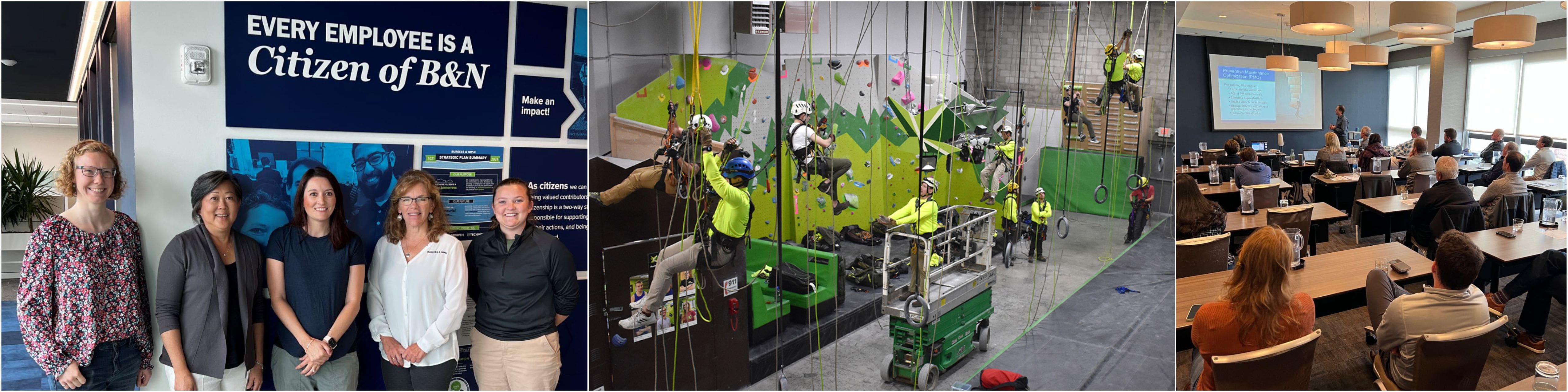
...& so much more.
We are engineers, architects, planners, scientists, geologists and designers. We are also innovators and leaders, entrepreneurs and collaborators. We are growing and changing; we honor our past as we look to our future. But when we log off for the day, our “&” doesn’t disappear. We are traffic engineers and parents of teenage drivers. We are site designers and homeowners. Ecologists and dog walkers. Funding experts and foodbank volunteers. Our collective connections to the communities we serve are an asset to B&N and our clients.